Tanager Hill
ACREAGE: 75 • YEAR ACQUIRED: 2015
Location
Park off the east side of East Weatogue Street, just south of Terry’s Plain Road.
Distance
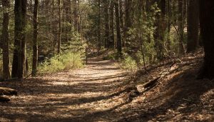
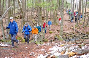
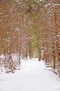
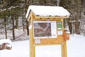
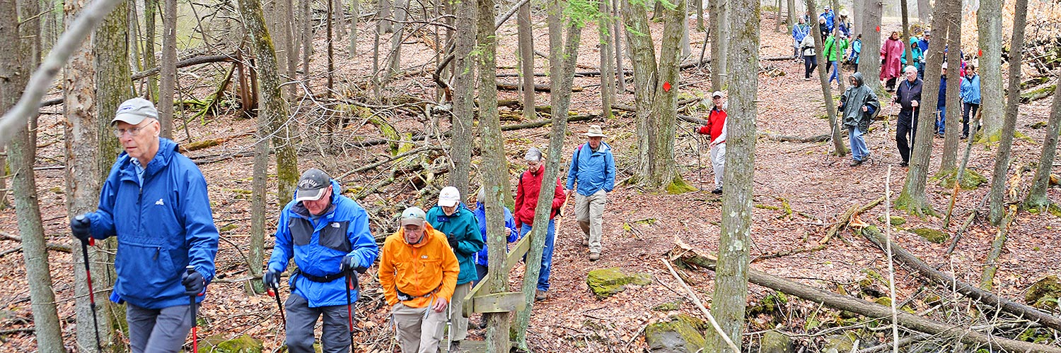
More than 2 miles total. Tanager Hill trails are not blazed but highly interconnected and easy to follow. This park-like affect is designed to encourage a more meandering visit. Several kiosks help with location and provide information.
Terrain
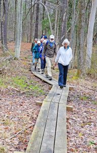
Trails are wide, flat and easy. The western end of the property is steep as is the eastern connection to Penwood State Park. There is a 500-foot elevation change top to bottom. Areas can be wet seasonally.
Features
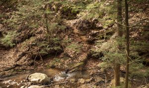
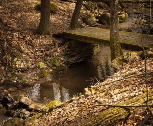
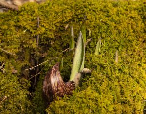
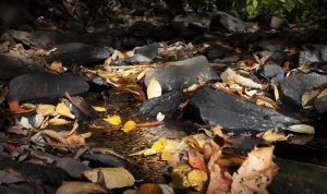
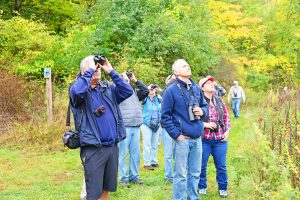
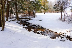
Geographically Tanager Hill is the most diverse parcel of preserved open space in Simsbury. The property begins just above the Farmington River flood plain and climbs by connecting trails, ultimately through a basalt talus field to the top of Talcott Mountain. A large portion of the property is on a glacial moraine at the base of the mountain with extensive wetlands, including a farm pond and vernal pools. Lucy Brook runs along the entire southern boundary cutting a deep ravine in the redstone as it heads to the river. Adding to the diversity are 15 acres of open meadow and extensive, mature upland forest. This is a wonderful area for bird watching as there are numerous species of birds taking advantage of the varied habitats for nesting and as a stopping point while migrating. To the north the property is bounded by the SLT’s Owen-Mortimer property which borders on the Town-owned Darling Wildlife Sanctuary.
This area was designated as a Primary Conservation Area in the Metropolitan Conservation Alliance’s Farmington Valley Biodiversity Project conducted in 2006. Please stay on the paths to help protect the many sensitive species that live here.

